


Cadastral surveys
Often referred to as a Land Transfer Survey, a cadastral survey is required whenever legal property boundaries are being altered or determined. This might happen when you subdivide land or move a property boundary, or when an easement or right over land is being granted. Unit titles also require cadastral surveys.
Whether it’s a simple boundary definition, a substantial subdivision or a complex unit title project – our combined years of experience and intimate knowledge of New Zealand’s cadastral system allows us to execute your survey accurately and efficiently. We’ll take care of all the details: pegging the legal boundaries on-site; obtaining survey approval from Land Information New Zealand (LINZ); and liaising with your solicitor to have new land titles issued.

Terrestrial Laser Scanning
A unique tool at our disposal is our laser scanner. A laser scan of the existing buildings or structures is useful for projects as diverse as Commercial buildings, shops and apartments that need to be redeveloped, bridges and existing structures that need accurate measurements for design, old historic churches, mines and tunnels that need to be mapped. With a high-resolution camera and precise laser measuring equipment, our expert team can cover large areas with high efficiency. We’ll quickly collect data and images and can produce accurate 3D models and incredibly detailed topographic plans. In order to provide a full package, as required, we can supplement a laser survey with work at ground level.

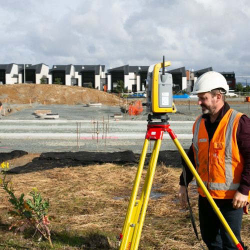
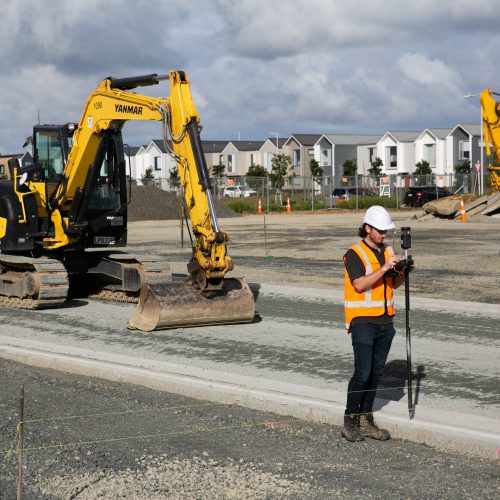
Construction set-out and as-built
When you need to be sure your home, commercial building or services are built in the right place, you need a surveyor. We are experts at taking designs and plans and precisely setting them out for construction. This can be crucial to ensure your building complies with set-back and height restrictions or resource consent conditions, or to ensuring that a stormwater or foul sewer design performs as planned.

Topographic surveys
Whatever you are planning to do with your land, a topographic survey is likely to be helpful. Topographic surveys give you accurate information about your land in a usable format. Using the latest GPS and survey instruments, we’ll visit your site, measure up surface features, and then produce a clear and detailed plan. You, your architect, and any other consultants can use an accurate topographic survey plan to inform the development of your property. We’ll include land contours, significant vegetation, any buildings or fencing, and can even include information about legal rights over the land such as easements and covenants if you need it.